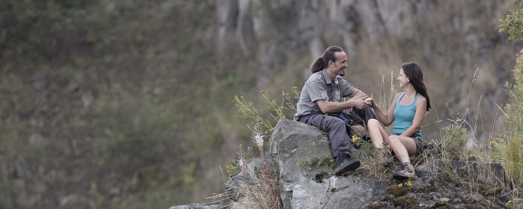
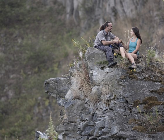
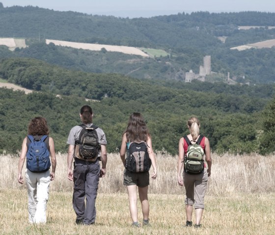
Hochbermeler - View into the quarry, © Traumpfade/Kappest
  • Distance: 10 km
  • Duration: 3:0 h
  • Difficulty: medium

Traumpfad Hochbermeler

Bermel

From the parking lot at the Bermel sports field, a 200m long access path leads to the Hochbermeler dream trail, which is best experienced in a clockwise direction. After a short passage on a wide forest path, the trail leads left to the edge of the slope with an impressive view of Bermel. A little later, the path allows a detour to the old quarry, where exciting outcrops provide an insight into volcanism and the history of the earth.

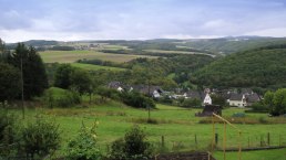
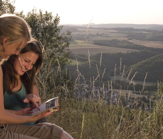
Soft forest paths then lead steadily downhill to the outskirts of Fensterseifen. The small village is quickly passed and the dream trail quickly reaches the forest through flower-filled meadows. There it swings uphill to an old mini volcano, the Schälskopf. Now you hike across the open plateau of the Heunen and enjoy a magnificent view of the Thürelzer Bachtal valley.

The trail follows a meadow path to the right, crosses a stream in a small wood and shortly afterwards offers further views over the open fields. The descent into the quiet Thürelzer Bachtal valley continues past the Heunenhof farm. It becomes even more dreamy and idyllic after the junction at a bridge into the Kimpelbach valley. The Hochbermeler soon turns right into a side valley and runs uphill through unspoilt mixed forest to the historic charcoal burner's hut. Along a stream, the Traumpfad follows field and forest paths steadily uphill to the Hochbermel volcano. The trail circles the top of the volcano just below the summit, offering unique views of the basalt quarry that has been reclaimed by nature. The trail runs close to the edge of the former basalt quarry, high up on the Hochbermel. Here you can enjoy unique views before heading downhill on stony ground and back to the junction of the access path to Bermel.

mehr lesen

Marking of the tour:

  • Trail markings for the Hochbermeler Dream Trail hiking trail
gpx: t1550852_traumpfad hochbermeler

Share content:

Ergebnisse filtern:

Along the route

Pension Eifelblick

House view

The name of our house is no coincidence... Enjoy the open view in an absolutely quiet location right on the edge of the forest in Bermel.
We invite you to spend your vacation in the midst of nature without the hustle and bustle and noise.

Lace up your hiking boots and explore one of the 26 dream trails in the Rhine-Moselle-Eifel region. The "Hochbermeler" dream trail leads right past our front door. Germany's most beautiful hiking trail of 2011, the "Monrealer Ritterschlag", is just a few minutes' walk from our vacation home. The natural paths lead to wildly romantic castles, impressive gorges and stream valleys as well as fantastic viewpoints of the volcanic Eifel and the Rhine and Moselle valleys.

Our vacation home is not only ideally located for a hiking vacation. The world-famous Nürburgring, for example, is just a 15-minute drive away.
The Eifel town of Mayen, famous throughout the region for its slate mining and castle festival, is just a 10-minute drive away.
Koblenz, which hosted the 2011 Federal Garden Show and was visited by more than 3 million guests, is just 30 minutes away. Visit the Deutsches Eck, Ehrenbreitstein Fortress, the historic old town and the Electoral Palace. Koblenz also invites you to stroll and store at any time of year.
Trier, the oldest city in Germany, can be easily reached in just 45 minutes. Explore the Roman city or take a trip to the neighboring Grand Duchy of Luxembourg.
The famous Moselle excursion destination of Cochem is just a 20-minute drive away. Discover the beauty of the Moselle valley with its many medieval castles and steep vineyards.

Details ansehen

Bitte akzeptieren Sie den Einsatz aller Cookies, um den Inhalt dieser Seite sehen zu können.

Alle Cookies Freigeben

More information about this route

Distance: 10 km

Duration: 3:0 h

Difficulty: medium

Ascent: 360 m

Descent: 360 m

Traumpfad Hochbermeler

Parkplatz Sportplatz
56729 Bermel
Phone: +49 6551 96560

write e-mail

Plan your journey

per Google Maps